Used the built-up presence Landsat multi-temporal dataset to make these maps. I wanted to focus on Hong Kong/Guangzhou but I downloaded the wrong location for DEM (from JAXA) so I just went with what I had!
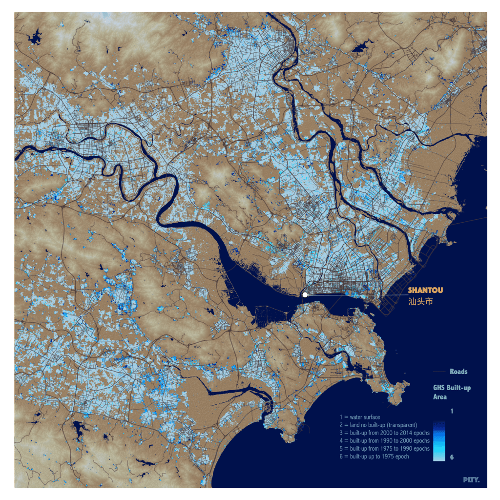
Made with qGIS.
cartographer 𖡼 designer
Used the built-up presence Landsat multi-temporal dataset to make these maps. I wanted to focus on Hong Kong/Guangzhou but I downloaded the wrong location for DEM (from JAXA) so I just went with what I had!
Made with qGIS.
