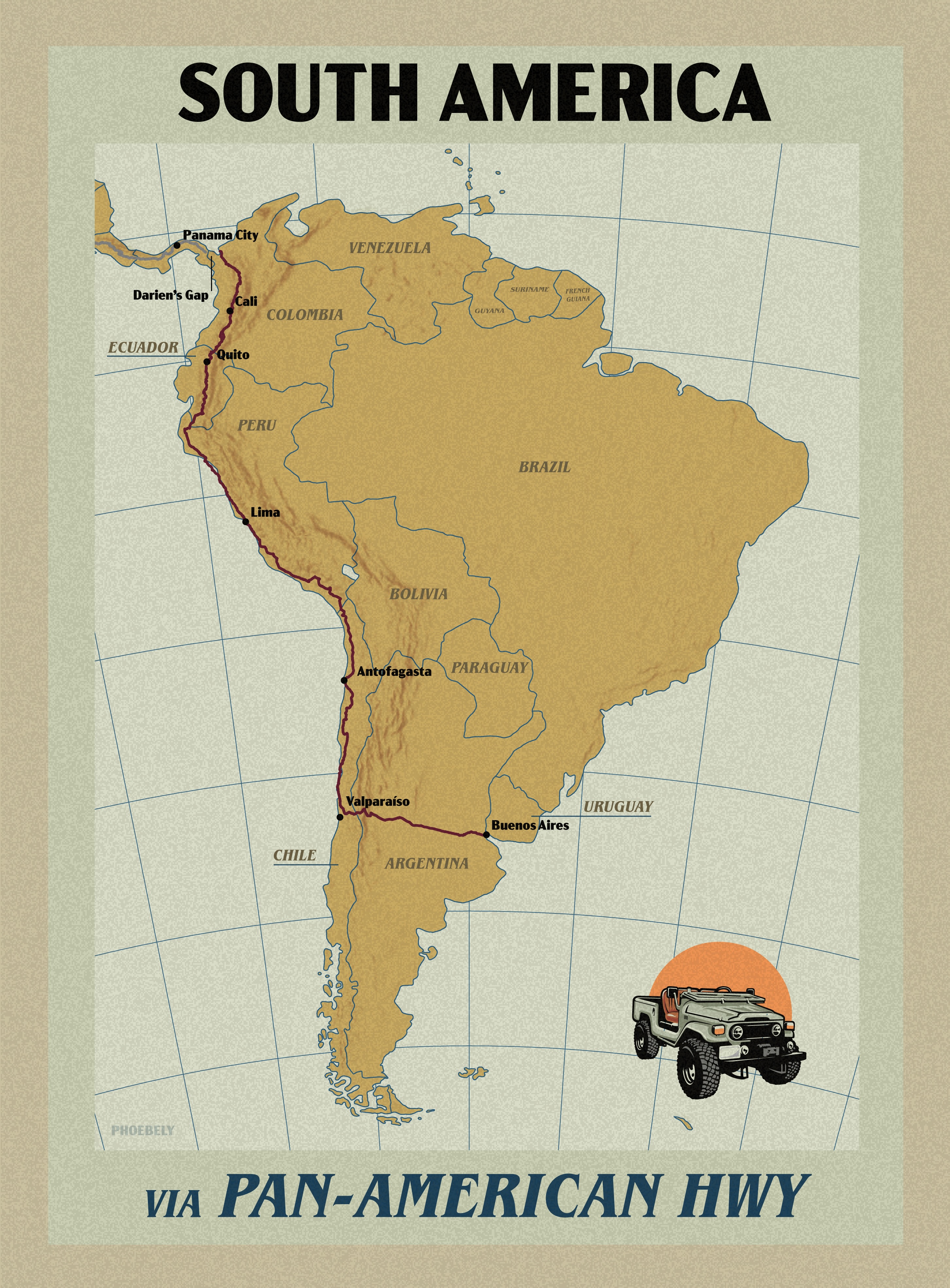
The route shown in red was compiled from OSM and depicts the original Pan-American highway route.
Made with qGIS, ArcGIS, Illustrator
Data sources: OpenStreetMap, Natural Earth, Wikipedia
cartographer 𖡼 designer
The route shown in red was compiled from OSM and depicts the original Pan-American highway route.
Made with qGIS, ArcGIS, Illustrator
Data sources: OpenStreetMap, Natural Earth, Wikipedia
