cartographer 𖡼 designer
◦
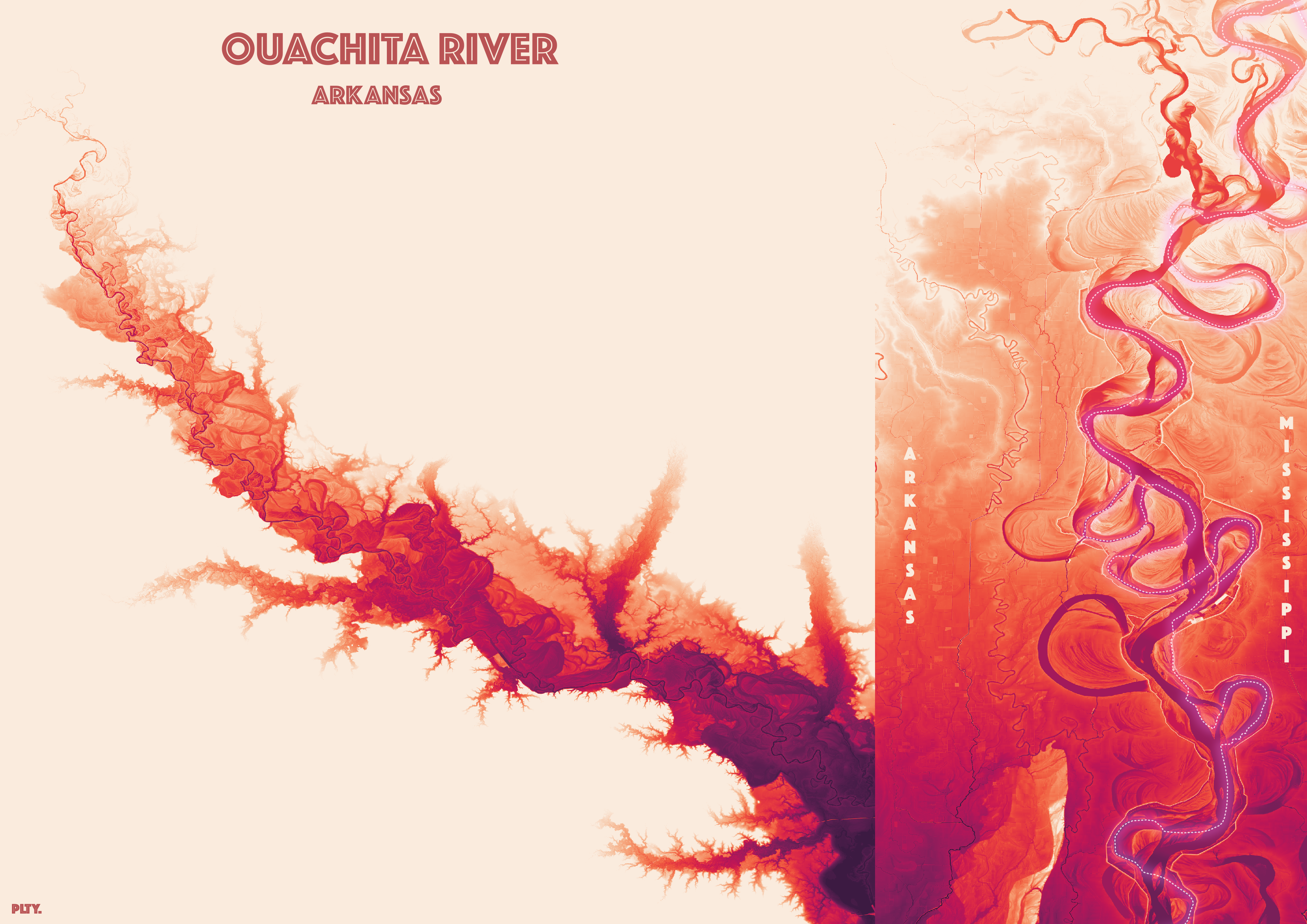
Look at those meanders! Higher resolution here.
Data source: USGS
Made with qGIS.